Invest EP95 off Baja California expected to develop, may bring rain to Southern California
The National Hurricane Center has identified Invest EP95 south-southwest of southwestern Mexico, forecasting a high chance of tropical development that could affect Los Angeles and surrounding coastal areas later this week.
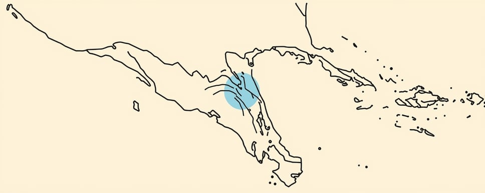
The National Hurricane Center issued a Tropical Weather Outlook on Monday noting a broad area of low pressure several hundred miles south-southwest of the coast of southwestern Mexico that is becoming better organized and is expected to form a tropical depression or tropical storm later today or tonight as it moves northwestward at about 10 mph. The outlook assigns a high, 90 percent chance of formation within 48 hours and the same probability through seven days.
The Los Angeles National Weather Service office released an Area Forecast Discussion later that afternoon, warning that the developing system could move northwest through Saturday and toward southern California. Model guidance diverges, with the GFS pushing the storm northward into the region by early next week while the ECMWF keeps it offshore, leaving a low but non-zero chance of rain, strong east winds, and high surf for the Labor Day holiday weekend.
Marine forecasts also show small craft advisory conditions extending from Point Sal to San Nicolas Island through the week, with the western Santa Barbara Channel flirting with advisory levels each evening. A beach hazards statement remains in effect until mid-afternoon for several coastal zones, and officials anticipate moderate coastal flooding on south-facing beaches if the storm approaches.
Development outlook and model scenarios
According to the National Hurricane Center, the system, designated Invest EP95, sits offshore of southwestern Mexico and is in an environment conducive to development. The outlook cites a 90 percent chance of formation within the next 48 hours and maintains that high probability through the seven-day period.
The Los Angeles forecast discussion highlights that multiple large troughs will dominate the weather pattern this week, keeping the core of the system far enough north to avoid immediate rain or strong winds. However, the discussion notes that a hurricane-like storm could develop by Wednesday or Thursday from the cloud clump off the Baja coast and then move northwest through Saturday, with the GFS and ECMWF offering opposite tracks.
Ensemble guidance suggests the heavy-rain scenario is the least likely, appearing in only 5-10 percent of the 100 projections, while a completely dry outcome appears in 20-30 percent. The most probable outcome is light rain during the holiday weekend, accompanied by a low but non-zero risk of strong east winds that could threaten fire-prone areas and downed trees.
Potential impacts on Los Angeles area
The NWS Marine Forecast indicates that fresh to near-gale winds and large to very large swell will affect offshore zones from Thursday through Saturday as the system tracks northwest. Small craft advisories are in effect for Point Sal to San Nicolas Island, the western Santa Barbara Channel each evening, and nearshore Central Coast waters through Tuesday, with a window of low-end advisory conditions Wednesday and Thursday.
Coastal impacts could include high surf and moderate flooding on south-facing beaches, especially if the storm remains close enough to generate a south swell. The forecast discussion notes evening high tides near seven feet by Monday, and a beach hazards statement is active until 3 PM PDT for zones 354-362-366, warning of large waves and strong rip currents for holiday beachgoers.
Rainfall chances remain modest, with ensemble models showing only a 5-10 percent chance of two inches or more. Nonetheless, any measurable rain combined with high surf could exacerbate fire-risk concerns in the foothills and increase the likelihood of downed trees in wind-exposed neighborhoods. Residents are advised to monitor updates as the system evolves.
Los Angeles residents should watch this system closely because even modest rain can spark flash-flooding in canyon streets, while high surf threatens crowded holiday beaches and the lingering fire-season makes any strong east wind a potential ignition hazard. Early awareness helps city agencies allocate resources and beachgoers plan safer outings.