It's a Scorcher: Heat Advisory Through Monday as LA Bakes
The National Weather Service has a Heat Advisory up across LA's valleys and interior through 8 p.m. Monday — plus an Extreme Heat Warning for the Antelope Valley — with inland highs from the mid-90s to 104° and warm, sticky nights.
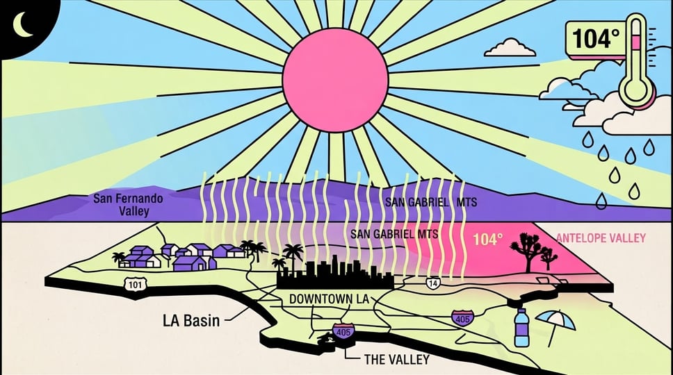
Sunday is the peak of it. The National Weather Service in Los Angeles/Oxnard says hotter-than-normal conditions will hang around for the foreseeable future, with today the hottest of the stretch and inland highs running from the mid-90s to 104°.
A Heat Advisory is in effect until 8 p.m. Monday for the valleys and interior, and an Extreme Heat Warning covers the Antelope Valley over the same window. The bigger story is the overnight lows staying warm — that's what pushes the risk of heat-related illness up, since bodies never really get to cool off.
The Heat
Expect the worst of it through Monday evening. Highs today top out mid-90s to 104° across the valleys and interior, and while a subtle cooldown arrives Monday through Thursday, forecasters say the high pressure aloft rebuilds Friday and Saturday, nudging temperatures back up three to five degrees — so this isn't a one-and-done heat day.
Take it seriously: hydrate ahead of thirst, limit strenuous activity to the early morning, and never leave kids or pets in a parked car. Warm nights mean AC or a local cooling center can be a real difference-maker — check on elderly neighbors and anyone without reliable cooling, and don't forget the dogs on hot pavement.
Wind, Fire, and Water
Heat isn't the only flag. Gusty northerly Sundowner winds are expected across the Santa Ynez Range in Santa Barbara County on Sunday and Monday evenings, and Wind Advisories may follow. Combine that with low humidity and dry fuels and you get elevated — briefly critical — fire weather across interior sections: any grass fire could spread fast, with high mixing heights raising the odds of significant, plume-driven fire behavior. Bottom line, skip anything that throws a spark inland.
At the coast, a Beach Hazards Statement runs through Wednesday afternoon and a Small Craft Advisory covers the outer and inner waters, with steep, choppy seas and gusty winds — boaters and swimmers, mind the conditions. And a wrinkle: a push of monsoon moisture from the south brings a slim 5-15% chance of brief, fat-drop showers and a remote shot at a mostly dry thunderstorm, mainly over the mountains and deserts in the afternoon and evening.
LA survival mode: your cheapest cooling centers are the library, the mall, and any municipal pool — and yes, LA County opens official cooling centers during heat events, so look one up if your place doesn't have AC. Hydrate before you're thirsty, move the hard workouts to sunrise, and check on the older folks and pets in your building. Inland friends: this is not the week for the backyard fire pit or mowing dry grass in the afternoon. Source: NWS Los Angeles/Oxnard forecast discussion.